
Woodridge ZIP Directory Coverage
Official sources confirm 60517 as the current active Woodridge delivery ZIP. They also preserve 60538 as a legacy label changed or reassigned to 60517. No official static street-by-street list of every ZIP touching the village was found, so the safe method is address-level verification. That limitation is important: Woodridge includes a DuPage County core and smaller Will and Cook County portions, while postal service areas do not follow those county or village lines.
| ZIP | Woodridge coverage | Postal evidence | Use in a search |
|---|---|---|---|
| 60517 | Current active Woodridge delivery area | Woodridge Post Office, 2 Plaza Drive | Validate the complete address before routing records |
| 60538 | Historic Woodridge label in USPS realignment records | 2015 USPS Postal Bulletin and PostalPro label material | Keep as an alias for old newspapers and directories |
| Other labels | Possible village-edge addresses | USPS dynamic address lookup | Confirm one address at a time; do not infer city limits |
The Woodridge Post Office record ties the civic core to 60517-9998. The suffix identifies the station record, not a special residential area. Searchers should preserve both the submitted address and the returned postal form. An old 60538 entry is not wrong merely because current mail uses 60517, but it must be dated and checked against the record being searched.
Woodridge's 60538 ZIP Clue
The strongest postal quirk in Woodridge is the 60538-to-60517 trail. A USPS Postal Bulletin documents the realignment, while current postal tools use 60517 for Woodridge. This makes 60538 useful as a historic search term in an old phone book, newspaper notice, deed address, or library index. It should not be presented as a current active residential ZIP without a new address-level result.
Try the address exactly as printed first. Then repeat the search with 60517, leaving the old city and street spelling in the research log. If a database normalizes the old label, record both forms. This simple comparison often explains why an older Woodridge record does not appear under the current ZIP code directory entry.
Note: A legacy ZIP is a search alias, not evidence that a person stayed at the same address after the postal change.
Search Woodridge Parcels by ZIP
The DuPage property address search and Supervisor of Assessments portal accept address details that include city, state, and ZIP. These fields narrow a large parcel set, but they do not turn the results into a roster of Woodridge residents. The tax system separates a parcel's physical address from its billing address, and a billing party may receive mail elsewhere.
The captured property-search screen shows why ZIP works best beside other fields:
| Field | How to use it | Limit |
|---|---|---|
| Street number from/to | Choose one number or a short range | A wide range can return unrelated parcels |
| Street name/type | Enter the base street and normalize its suffix | Old names may not match |
| City, state, ZIP | Narrow the property-address result to a postal area | Postal city is not legal jurisdiction |
| PIN | Re-run the confirmed parcel by its stable identifier | PIN formats differ at county edges |
The image below comes from the DuPage ZIP-capable property search.
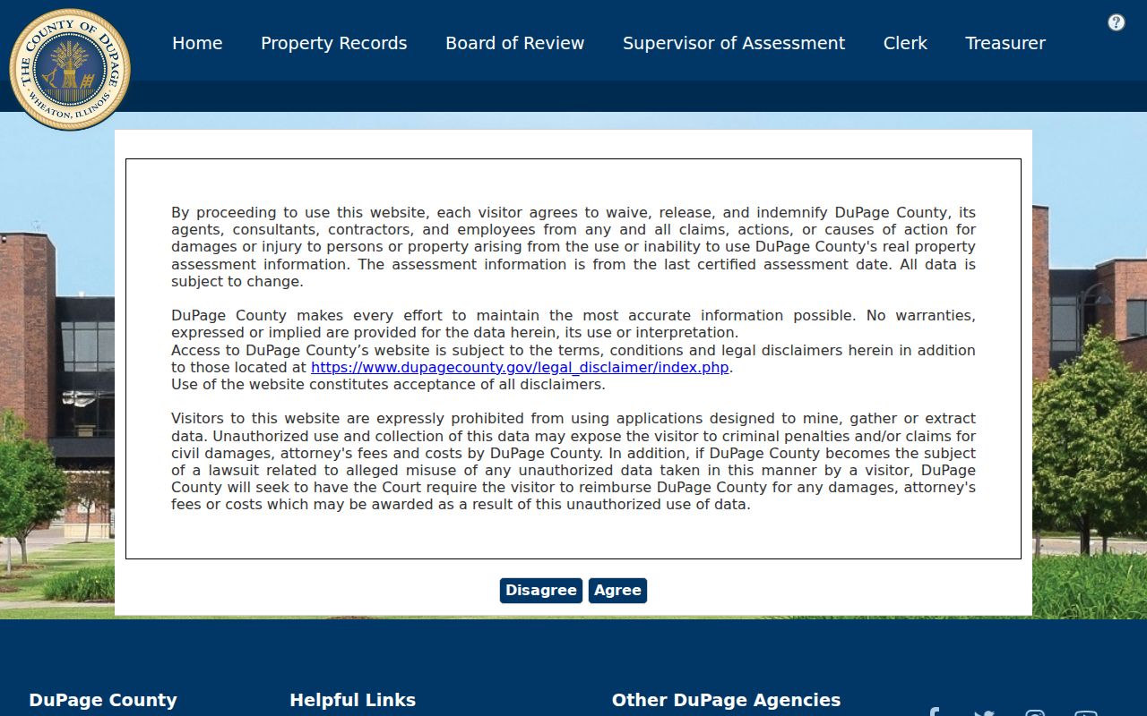
Its separate address controls show how a ZIP filter should be paired with a street and parcel check rather than used alone.
Find Within a Woodridge ZIP
A useful Woodridge ZIP code directory workflow moves from postal address to parcel, then to the record keeper. The USPS tool validates delivery. County GIS identifies the parcel and county. The assessor supplies owner and tax fields. The recorder then supplies deed parties and legal documents. Illinois voter lookup accepts a five-digit ZIP only as part of an identity-and-address confirmation, not as a public ZIP-wide list.
- Use the USPS ZIP Lookup by address. Save the current city label, five-digit code, and ZIP+4 if returned.
- Search the parcel in DuPage GIS by property address and city-state-ZIP. If the parcel lies in a Will or Cook edge, switch to that county's system.
- Confirm the PIN, situs address, and billing fields in the assessor record. Treat the named owner as an owner, not a full household.
- Use a specific name and address in the official voter confirmation tool only when appropriate. Do not try to build a block list from a ZIP.
- Once the work narrows to one road, use the Woodridge street directory method for street-level records.
When an online form fails, use the county GIS and assessor counter or contact channel, ask USPS to verify a deliverable address, or submit a narrow Illinois FOIA request for an existing municipal addressing record. The Village GIS page and Community Development office are the logical fallback for annexation, street-name, and address-point records.
Four Woodridge Address Meanings
A ZIP code search can fail because official systems describe the same place in different ways. USPS uses a deliverable mailing label. The assessor uses a situs address for the parcel and a billing address for tax mail. The recorder relies on a legal description, PIN, parties, and recorded instrument. Voter registration uses a principal residence, with protected substitutes available under Illinois law.
- ZIP+4
- A delivery code that narrows the five-digit ZIP to a smaller mail segment.
- Postal label
- The city and ZIP accepted for delivery; it may not match an incorporated boundary.
- Situs address
- The physical address assigned to the land parcel.
- PIN
- The county parcel identification number used to carry the land record across address changes.
- Carrier route
- A mail-delivery path, not a municipal or property boundary.
DuPage PINs commonly appear in grouped form such as 10-07-107-003. Will and Cook use different structures. At a county edge, identify the parcel first and then open that county's recorder and assessor resources.
Woodridge ZIPs Versus City Limits
Woodridge's postal, village, county, school, fire, park, township, and voting lines do not share one border. A 60517 label therefore cannot prove that a parcel sits inside the village or in DuPage County. The reverse is also possible: a parcel within the incorporated boundary may use a neighboring postal label or retain 60538 in an old source. Resolve the mismatch through GIS, the PIN, and the village boundary layer.
Boundary check. Use ZIP for mail, GIS for place, and the parcel county for the legal record office.
The village's GIS and maps page connects zoning, land-use, development, and flood resources. DuPage GIS handles the core. Will County Recorder and Cook County Clerk routes apply to their smaller Woodridge portions. If an edge parcel still cannot be resolved online, contact the village GIS custodian with the full address and ask for an existing address-point or annexation record.
Woodridge Growth Changed Addresses
Postal history meets a young village. Woodridge incorporated in 1959, then grew through postwar subdivisions and annexations. Research dates Winston Hills to 1964, Woodridge Center annexation to 1972, Woodridge Drive development to 1974, Wilton and Pillsbury growth to 1977, and I-355 to 1989. Those events can explain a farm legal description becoming a subdivision lot and then a modern street address.
No official Woodridge street-renumbering year or complete renaming list was located. Do not invent one. When a current street string fails, use the PIN, subdivision plat, legal description, township-range-section description, annexation ordinance, and plan commission record. Older newspapers may index the same place under a rural route, nearby town, or 60538.
Note: Development dates explain search gaps, but they do not prove that a specific address changed in that year.
Woodridge ZIP Lookup Limits
A ZIP-wide result is never a verified resident list. Property results identify recorded owners and billing parties. Voter tools confirm a defined voter and return political context, but Illinois law restricts sensitive fields and improper list uses. Recorder documents name instrument parties. None of these sources proves every occupant of a Woodridge home.
Official sources also change at different speeds. USPS may update delivery labels while a deed keeps the address written at recording. The assessor can show a new billing address while the situs stays the same. A historical directory can preserve an old label for years. Keep the source date, field name, and exact wording so later readers can see which type of address was reported.
If a correction is needed, contact the source custodian. Postal errors go to USPS, parcel fields to the county assessor or GIS office, recorded-document issues to the recorder, and village address records to Community Development. A narrow FOIA request is the fallback for an existing Woodridge government record that is not posted online.
Historical searches need one more check. The Woodridge Progress image subset, older directory entries, deeds, and subdivision notices may retain the postal form that was current when the item was created. Search the printed ZIP first, then the normalized one, and keep both citations. For a parcel near the village edge, repeat the county check even if the mailing label says Woodridge. DuPage, Will, and Cook offices maintain separate land systems, and a result from the wrong county can look like a false absence.
A careful ZIP code directory entry therefore records the input address, the USPS response date, the parcel PIN, the GIS jurisdiction, and the custodian used. It does not publish a sweep of names. This small log also helps when a postal label, owner field, or boundary layer changes later.